





Greetings, fellow wanderers and mountain aficionados, to Uncle Kham's local travel logs. When travelers think of Hot District in southern Chiang Mai, famous landmarks like Ob Luang Gorge or sprawling pine plantations often spring to mind. Yet, tucked away deep within the rugged mountain ridges connecting Hot and Mae Chaem lies a landscape of surreal and pastoral elegance: Doi Mae Tho, celebrated across the country as the “Green Savanna of Doi Mae Tho”. Characterized by undulating, tree-less mountain ridges swathed in endless natural pastures, this breathtaking destination is rightfully hailed as the “Little Switzerland of Northern Thailand”.
1. The Evolution of Doi Mae Tho Savanna: Pastoral Heritage & Ecology
For centuries, the highlands of Doi Mae Tho have been home to indigenous Pgakenyaw (Karen) and Hmong communities who sustained traditional mountain livelihoods through subsistence agriculture, upland rice terracing, and free-range livestock grazing. The distinctive topography—dominated by weather-eroded limestone and sandstone ridges subjected to strong seasonal mountain winds—naturally limits the growth of dense forest canopies along the upper spines, giving rise to expansive natural grassy meadows that drape gracefully over the contours of the terrain.
In 1996, the establishment of the Doi Mae Tho Royal Project Development Center transformed the valley by introducing sustainable hillside terrace farming, cool-climate vegetables, organic fruit orchards, and managed livestock grazing. Today, peaceful herds of domestic cattle freely graze the open slopes against a backdrop of shifting morning mist, creating an enchanting pastoral atmosphere reminiscent of classic European alpine landscapes.
“Standing upon the open ridge of Doi Mae Tho with cool winds caressing your face, surrounded solely by waves of green grass beneath an endless azure sky, brings an overwhelming sense of peace and mental lightness.” — Uncle Kham
The 360-degree panoramic viewpoints of Doi Mae Tho range between 1,200 and 1,400 meters above sea level. During the lush rainy season (July to October), the landscape transforms into a brilliant emerald sea of grass. As the dry winter sets in (November to January), the meadows shift into a shimmering golden hue, greeted by brisk mountain chills and dense morning cloud inversions settling in the valleys below.
2. Prime Experiences & Photography on the 360-Degree Ridge
To ensure your excursion to Doi Mae Tho results in stunning photography and rich memories, Uncle Kham highlights these essential experiences:
- Hikes Across Undulating Savanna Ridges: Traverse gentle ridge paths to photograph multi-layered green hills stretching toward the horizon. Wearing white, cream, or earth-tone apparel creates striking, elegant contrast against the deep green grass and vibrant blue skies.
- Capturing Freely Grazing Mountain Cattle: The wandering herds of local cattle grazing peacefully on the boundless meadows provide classic pastoral compositions evocative of Swiss mountain meadows.
- 360-Degree Horizon Sunrises and Sunsets: Unobstructed by tall timber, visitors can witness the golden dawn break over eastern mountain basins and watch the crimson sun dip behind western peaks from the very same ridgeline.
- Visiting the Doi Mae Tho Royal Project Station: Stroll through highland greenhouses cultivating crisp cos lettuce, sweet heart-shaped cabbage, and succulent cherry tomatoes, with the opportunity to purchase farm-fresh produce directly from local growers.
Planning Your Chiang Mai Trip? Book Early for Lower Rates
Check real-time rates and secret deals on Agoda, our official travel partner. Enjoy 100% free cancellation, pay at check-in, and earn Agoda Cash rewards.
3. Route Guide, Road Conditions & Community 4WD Transfers
From Chiang Mai city center, take Highway 108 south through Hang Dong, Chom Thong, and Hot. At the Hot town clock tower roundabout, continue along Highway 108 toward Mae Sariang until reaching the Ban Kong Loi intersection at kilometer 90. Turn right onto rural road 4015 leading to Ban Mae Tho. The total journey spans approximately 160 kilometers, taking around 3 to 3.5 hours.
Uncle Kham provides this candid travel advice: The road from Ban Kong Loi to Ban Mae Tho village is fully paved with concrete and asphalt, making it easily accessible for standard sedans, pickups, and motorbikes. However, the final 3-kilometer mountain ascent from the village up to the 360-degree Savanna Viewpoint is a deeply rutted, unpaved red clay track characterized by steep gradients and slippery mud. Standard passenger sedans and 2WD vehicles are strictly prohibited from this section. Travelers should park at the village base and hire a local four-wheel-drive (4WD) pickup truck operated by the Ban Mae Tho Community Tourism Group. The local drivers know every turn, the rates are fair, and the revenue directly supports indigenous families.
| Journey Section | Distance / Surface Type | Recommended Vehicle | Uncle Kham's Local Wisdom |
|---|---|---|---|
| Chiang Mai to Ban Kong Loi Junction | ~145 km / Paved 4-lane & 2-lane highway | All vehicles | Take a rest break and refuel your vehicle in Chom Thong or Hot township. |
| Ban Kong Loi to Ban Mae Tho Village | ~15 km / Winding paved mountain road | Sedans, pickups, geared motorbikes | Drive carefully on tight bends; watch for occasional wet-season fallen gravel. |
| Ban Mae Tho to 360-Degree Viewpoint | ~3 km / Steep rutted dirt, slippery clay | Community 4WD pickup or walking hike | Wear sturdy hiking shoes with solid tread; pack sun hats and drinking water. |
4. Accommodation Options, Camping Ethics & Ecological Respect
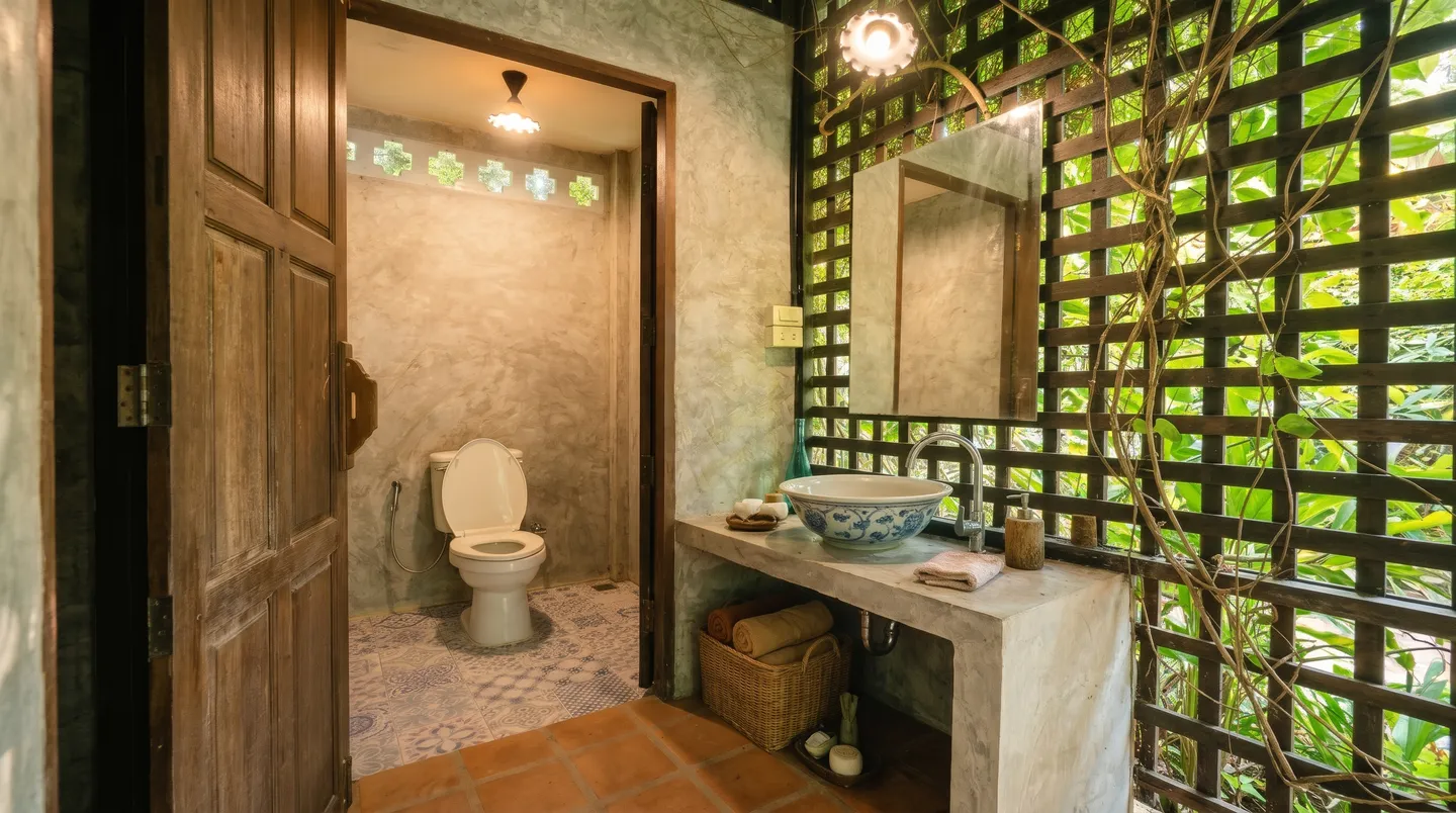
For overnight stays, travelers can experience authentic Karen and Hmong homestays in Ban Mae Tho village, enjoying home-cooked meals featuring fresh Royal Project greens. Alternatively, camp at the designated grounds of the Doi Mae Tho Royal Project Development Center, which provides clean restroom facilities and fresh mountain water. To preserve the fragile landscape, no permanent commercial buildings or restrooms exist atop the open savanna ridge itself.
Uncle Kham kindly asks every guest to uphold strict conservation practices: Carry away all personal waste, never pick native wildflowers or disturb delicate hillside turf, and avoid loud music. When photographing grazing livestock, maintain a respectful distance without shouting or chasing the animals, allowing human visitors and mountain nature to coexist in gentle harmony.
5. Exploring Connected Royal Project Sanctuaries Across Chiang Mai
The beauty of exploring Chiang Mai lies in discovering how community development and natural splendor intertwine. If you are inspired by the agricultural achievements of Doi Mae Tho, Uncle Kham recommends extending your exploration to other iconic highland research stations. Heading north into Mae Taeng, witness tea terraces and morning cloud seas at Mon Ngo Royal Project Development Center, or visit the fertile mountain research gardens at Huay Luek Royal Project Center Chiang Dao.
For travelers exploring the far northern frontier of Mae Ai, sample world-renowned sweet honey oranges right from the orchard trees at Mork Jam Royal Project Orange Orchards Mae Ai. When circling through the picturesque valleys of Samoeng, explore rare high-altitude medicinal herbs at Thung Rao Royal Project Herbal Plants Samoeng, and immerse yourself in the expansive cold-climate crop research at Pang Da Royal Agricultural Station Samoeng, marveling at the enduring legacy of sustainable highland cultivation across Lanna.
Plan Your Chiang Mai Journey · Verified Booking Partners
Compare real-time rates for stays, curated day tours, flight tickets, and transport with best price guarantee and flexible cancellation: