







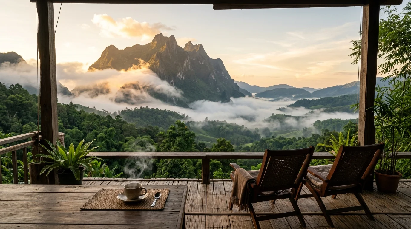
If the ridge walk in our Doi Inthanon Kew Mae Pan trail guide left you hungry for raw northern altitude, look three hours north to Fang District’s Doi Pha Hom Pok. Rising to 2,285 meters, it is Thailand’s second-highest peak—yet it refuses to pamper casual sightseers. There are no asphalt switchbacks to a summit espresso kiosk here; the reward of a two-country cloud sea along the Myanmar border is earned through rough clay tracks and a cold pre-dawn climb.
Every winter I watch unsuspecting travelers pull up to the ranger gate in compact rental sedans or 125cc scooters only to get turned straight back down. Read these 2026 logistics before making the three-and-a-half-hour drive north from Chiang Mai.
1. Strict 4WD-Only Rules & 2026 Park Entry Fees
Past the park headquarters near Fang Hot Springs, an 18-kilometer unpaved track climbs toward Kio Lom Campground (~1,924m), Thailand’s highest campsite. Deep monsoon ruts, slick clay grades, and tight blind hairpins make it impassable for standard two-wheel-drive vehicles.
- Zero Sedans or Scooters Past the Ranger Gate: Park rangers strictly prohibit passenger cars, hatchbacks, and normal scooters beyond the checkpoint. Only high-clearance 4WD vehicles with skilled mountain drivers are cleared to ascend.
- 2026 National Park Entry Fees: Foreign adults pay 200 THB (foreign children 100 THB); Thai adults pay 20 THB (Thai children 10 THB). If you visited the Fang Hot Springs park unit earlier the same calendar day, keep your ticket stub to avoid repaying personal entry.
- Local 4WD Pickup Charter Costs: Community 4WD trucks stationed at the park entrance cost roughly 1,800 THB per vehicle round-trip (up to ~8 passengers, including overnight drop-off and morning pickup). Solo travelers or couples should ask the ranger desk to pair them with another group to split the truck fare.
The bumpy 90-minute ascent in the back of a pickup kicks up thick red dust in dry months and splashes cold mud in early winter—leave white jackets in town and wear windproof dark layers plus a dust buff.
2. The 04:30 Summit Hike Through Ancient Moss Forest
Reaching Kio Lom Campground is only stage one. To stand on the 2,285-meter summit marker at sunrise, hikers set out around 04:00–04:30 on a steep 3.5-kilometer mountain trail taking 1.5 to 2 hours up depending on fitness.
You climb first through gnarled cloud forest wrapped in thick cushions of emerald moss before emerging onto an exposed grassy ridge for the final stretch. Pre-dawn temperatures regularly drop to 4–10°C with cutting ridge winds. Pack a proper hands-free headlamp (never rely on a phone flashlight on steep root steps), windproof gloves, a knit beanie, and sturdy grippy trail shoes.
Planning Your Chiang Mai Trip? Book Early for Lower Rates
Check real-time rates and secret deals on Agoda, our official travel partner. Enjoy 100% free cancellation, pay at check-in, and earn Agoda Cash rewards.
3. Cloud Sea Peak (Nov–Jan) & Monsoon Track Closures
Doi Pha Hom Pok runs on strict highland seasons, and timing your trip matters more than almost any mountain in northern Thailand:
- Peak Sea of Mist (November–January): Cold clear nights fill both the Fang basin and valleys across the Myanmar ridge with dense cotton clouds at daybreak. Because Kio Lom limits daily camper quotas, reserve tent pads early through the Department of National Parks booking portal or park office.
- Annual Wet-Season Closure: Expect the Kio Lom road and summit trail to close during heavy monsoon months (typically May through September or early October, reopening around mid-October once rangers repair washed-out ruts). Always verify open status via official Doi Pha Hom Pok National Park announcements before leaving Chiang Mai.
4. Camp Supplies & Northern Highland Pairings
Electricity at Kio Lom is minimal solar/generator power and food options are basic seasonal stalls, so carry a high-capacity power bank, bottled water, warm sleeping gear, and instant snacks—most groups also pre-order hot dinner sets through their 4WD driver.
Trekkers comparing northern ridgelines should check our Doi Mon Jong golden ridge guide in Omkoi for a multi-day southern alternative, or pair Fang with gentler terraced slopes in our Doi Ang Khang winter guide and Chiang Dao Cave & giant trees tour on the drive south. Need public bus details for reaching Fang without driving? Check our Chiang Mai transport guide before booking.
Plan Your Chiang Mai Journey · Verified Booking Partners
Compare real-time rates for stays, curated day tours, flight tickets, and transport with best price guarantee and flexible cancellation: